Camino de Santiago 2016

Every single one of us possesses the strength to attempt something he isn't sure he can accomplish. It can be running a mile, or a 10 k race, or 100 miles. It can be changing a career, losing 5 lbs., or telling someone you love her (or him).
-- Scott Jurek

Old age is the time to be dangerous. Dangerously fun loving, dangerously alive . . . This is the time to do every single thing we can possibly do with all the life we can bring to it. This is the time to live with an edge, with strength, with abandon. There is nothing for which to save our energy. Now it is simply time to spend time well.
-- Joan Chittister

Thursday, June 20, 2013


5/13/2013.    On the third day of the hike, after we left Pacaymayu, the trail began to ascend the other side of the valley. 

Breathtaking views.


We stopped at Sayaqmarca Ruins.  It was a fortress with accompanying residence for no more than 200 people.  It reminded me, as many of the Incan ruins did, of the ruins left by Southwestern Indians, particularly those at Chaco Canyon, New Mexico.
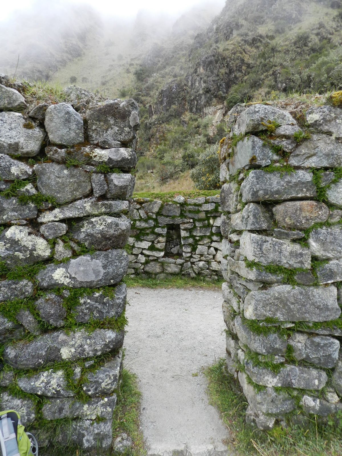


At 12,300’ we came to Runkuraqay Ruins which overlooks the valley. 

 
As we rested for lunch, a number of porters passed us carrying their huge loads.  Without any framed packs, many walking in simple sandals, the porters broke camp after we left and met us at the next lunch spot or camp with everything all set up and waiting for us.  And they always had a smile!


Shortly before camp we went through one of two Inca made tunnels on this portion of the Trail.  Here, I am with Juan, one of our guides.

 
Finally we arrived at our final camp, Puyupatamarca or “cloud level town,”  at 12,000.’ The name is applied to both the camp and the extensive ruins close by. 

5/12/2013.  The second day of our hike was the most physically demanding as we headed up to Warmiwanuska or Dead Woman’s Pass at 13,800 feet.  But we started with breakfast in our dining tent and then a few minutes to meet and get to know our porters.  The porters range in age from 18 to 62 years and as you can see from the photo, are not large people.  Their 50 pound loads include our personal gear and tents; the dining tent, tables and chairs; the cooking tent with cooking gear and food for 4 days for all of us; two toilet tents; and what little personal gear they may bring. 

 
Then we headed upward.


Along the trail there are a few places where locals cater to hikers.  These three women sold drinks and snacks. 


On this day we walked through jungle and up to cloud forest. 


Not trick photos – the Trail is every bit as steep as it looks.  In places I would only take a few steps then stop and take a couple of deep breaths.


Looking up toward our goal:  Dead Woman’s Pass.  It is so named because it was thought that the rock formation at the top resembled a reclining woman.


By the time we got to the top, clouds had rolled in and it began pouring rain.  That made the 2000 foot decent to our camp at Pacaymayu a bit treacherous. 


5/11/2013.  Finally the day came to start our hike on the Inca Trail to Machu Picchu.  In four days we would hike about 27 miles, ascending three passes at 12,000 to 14,000 feet.  The trail is a mix of incredible mountain scenery, lush cloud-forest, jungle and, of course, a ancient Inca paving stones, ruins and tunnels.
 
The trail starts at Piscaucho, along the Urubamba River and railway that will return us to Cusco
after the hike.


At the check in, permits are verified and porters weighed.  The Inca Trail is a UNESCO World Heritage Site.  The numbers of hikers are limited to protect the trail and the environment.  Porters are only allowed to carry 50 lbs. and are weighed to make sure that tour companies don’t overload them.

 I had to keep reminding myself to enjoy the spectacular scenery.  Mt. Victoria.


About 90 minutes into the hike we came to the Patallaqua Ruins.  It has 100 or so buildings along with the unique terraces.


On the first day of the hike we shared the trail with locals.

 
5/10/2013.  On our final training day, we started at the Pisac ruins and hiked a few miles from 11,000 feet down to the town of Pisac
.  Along our route there were many ruins and ancient terraces.


At Pisac we enjoyed the local open air market which reminded me of the Portland Saturday Market with a combination of foods and handmade items.

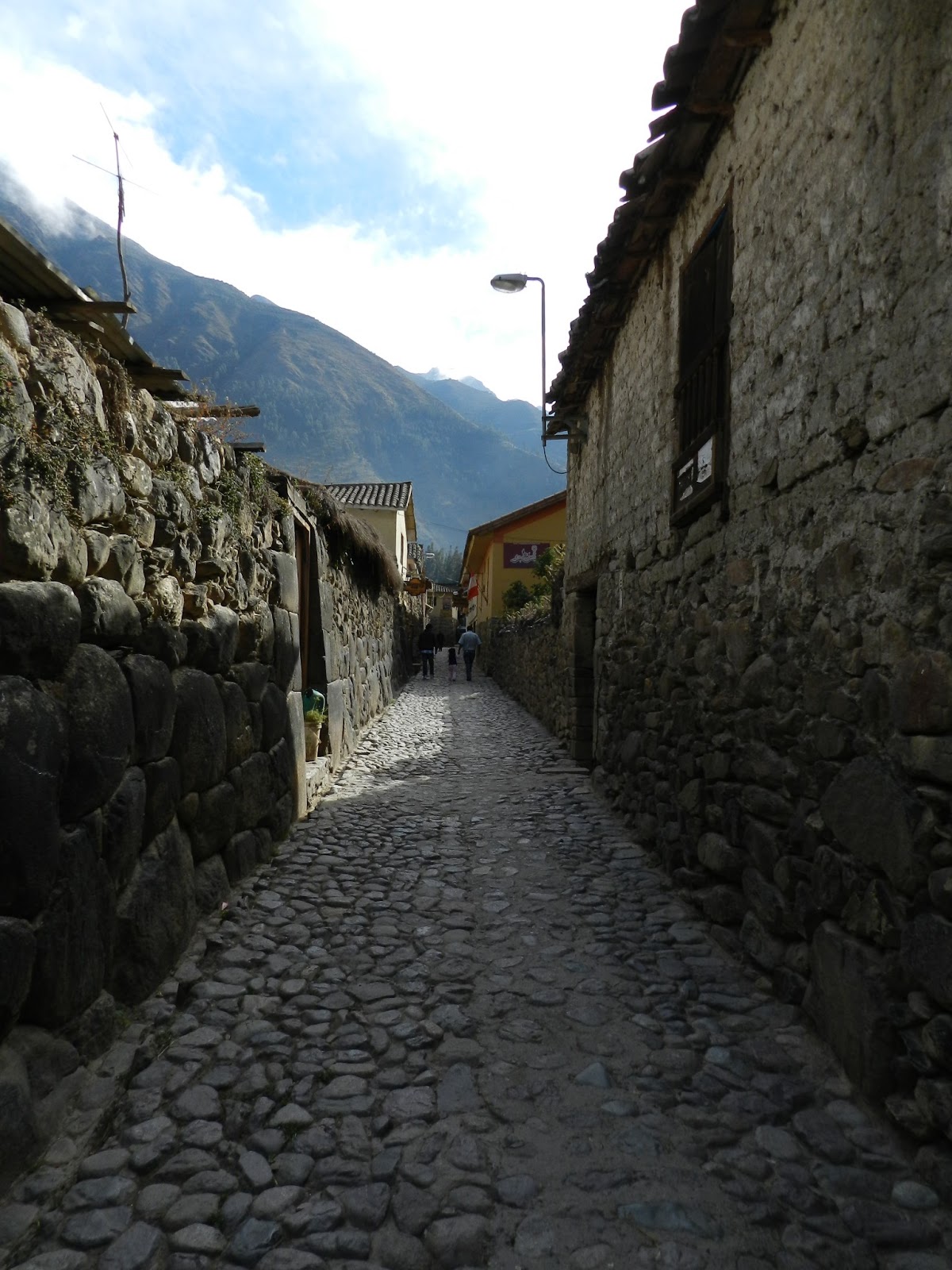
The narrow streets were enchanting.  Some of the buildings are built on a foundation of old Incan buildings.


Wednesday, June 19, 2013


5/9/2013.  We started our second day of  hiking to acclimate at the Moray ruins located at 11,500 feet.  It is thought that this may have been an agricultural testing station in that the temperature between the top and bottom circle may vary as much as 27 degrees.
 
 
The Incas built steps into the walls.

 This is Mt. Victoria, 18,000,our companion through most of the trip.  Taken from Moray.

 Our second hike was at the Salt Pans (ponds) of Maras.  Since pre-Incan times, salt has been collected by diverting a highly salty stream into these evaporation ponds. 

 We started at the top of the area and hiked down to the town of Maras. 
5/8/2013.  This was our first day in the Sacred Valley and our first "training" hike.  First stop was the Inca ruin of Ollantaytambo.  It is at a modest 9,100 feet, but for this lowlander, climbing the stairs was humbling to say the least. 

From near the top of the ruins looking down to the ancient town of Ollanyaytambo.


"The bath of the princess", a fountain at the base of the ruins.

Friday, May 10, 2013

Today, our last training hike before the trail. 11,200 feet. Humbling. As we hiked, this young man fowler. Heinz us or above us, and the lovely sound of his flute followed us.


- Posted using BlogPress from my iPad

Thursday, May 9, 2013