Camino de Santiago 2016

Every single one of us possesses the strength to attempt something he isn't sure he can accomplish. It can be running a mile, or a 10 k race, or 100 miles. It can be changing a career, losing 5 lbs., or telling someone you love her (or him).
-- Scott Jurek

Old age is the time to be dangerous. Dangerously fun loving, dangerously alive . . . This is the time to do every single thing we can possibly do with all the life we can bring to it. This is the time to live with an edge, with strength, with abandon. There is nothing for which to save our energy. Now it is simply time to spend time well.
-- Joan Chittister

Friday, June 21, 2013


5/14/2013.  Our last morning of the hike, I got up early to watch the sun come up on the surrounding mountains.  The cloud formations changed by the minute.


Below our camp was the Puyupatamarca Ruins (City above the clouds).  Alpaca were grazing there.  Our hike would take us right by the ruins and the Alpaca.


Finally, the sun arrived.


This is one of my favorite photos, even with the sun glare, as it really shows what it was like in this extraordinary camp. 

 
Breakfast at the top of the world.  Even on our last morning we were served wonderful omlettes!

 Our guides.
 
We had a thank-you ceremony with our porters and cooks after breakfast, because they would soon be leaving us. 


From camp our hike to Machu Picchu was nearly all downhill.  The guides said it was flat, but “Peruvian flat” isn’t exactly flat. 


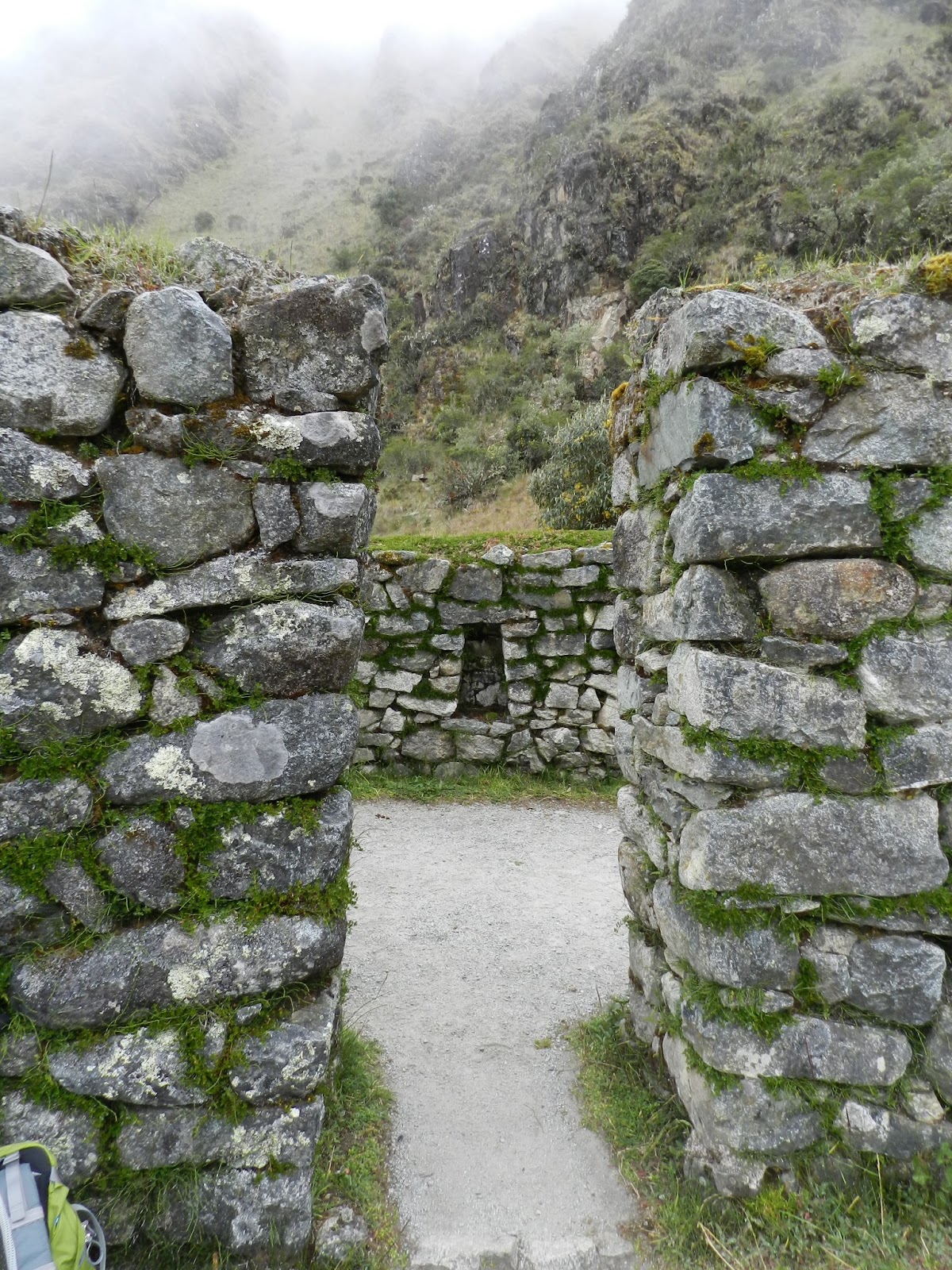
We made a stop at Winay Wayna, the largest ruins on our hike other than Machu Picchu.  There was a very well developed water system, fountains and baths.


We finally arrived at Intipuncu, the Sun Gate, where we caught our first glimpse of Machu Picchu far below us, the Urubamba River and the small town of Aguas Calientes, where we would spend the night.   The switchback road carries busloads of tourists up to and down from Machu Picchu.


Champagne to Celebrate!  First sip goes to Mother Earth!


About halfway down the mountain, we came to the iconic Kodak moment.  One picture says it all.

Thursday, June 20, 2013


5/13/2013.    On the third day of the hike, after we left Pacaymayu, the trail began to ascend the other side of the valley. 

Breathtaking views.


We stopped at Sayaqmarca Ruins.  It was a fortress with accompanying residence for no more than 200 people.  It reminded me, as many of the Incan ruins did, of the ruins left by Southwestern Indians, particularly those at Chaco Canyon, New Mexico.


At 12,300’ we came to Runkuraqay Ruins which overlooks the valley. 

 
As we rested for lunch, a number of porters passed us carrying their huge loads.  Without any framed packs, many walking in simple sandals, the porters broke camp after we left and met us at the next lunch spot or camp with everything all set up and waiting for us.  And they always had a smile!


Shortly before camp we went through one of two Inca made tunnels on this portion of the Trail.  Here, I am with Juan, one of our guides.

 
Finally we arrived at our final camp, Puyupatamarca or “cloud level town,”  at 12,000.’ The name is applied to both the camp and the extensive ruins close by. 

5/12/2013.  The second day of our hike was the most physically demanding as we headed up to Warmiwanuska or Dead Woman’s Pass at 13,800 feet.  But we started with breakfast in our dining tent and then a few minutes to meet and get to know our porters.  The porters range in age from 18 to 62 years and as you can see from the photo, are not large people.  Their 50 pound loads include our personal gear and tents; the dining tent, tables and chairs; the cooking tent with cooking gear and food for 4 days for all of us; two toilet tents; and what little personal gear they may bring. 

 
Then we headed upward.


Along the trail there are a few places where locals cater to hikers.  These three women sold drinks and snacks. 


On this day we walked through jungle and up to cloud forest. 


Not trick photos – the Trail is every bit as steep as it looks.  In places I would only take a few steps then stop and take a couple of deep breaths.


Looking up toward our goal:  Dead Woman’s Pass.  It is so named because it was thought that the rock formation at the top resembled a reclining woman.


By the time we got to the top, clouds had rolled in and it began pouring rain.  That made the 2000 foot decent to our camp at Pacaymayu a bit treacherous.